October 14, 2018 - Foliage Flight Maine

Sunday morning, the weather was excellent:  sunny, clear blue skies.  But it was cold, I had to scrape the ice off my rental car windshield.  I was very glad I had hangared my plane, having rained all day yesterday and then being so cold this morning.  The plane was warm and dry in the cozy hangar.
   
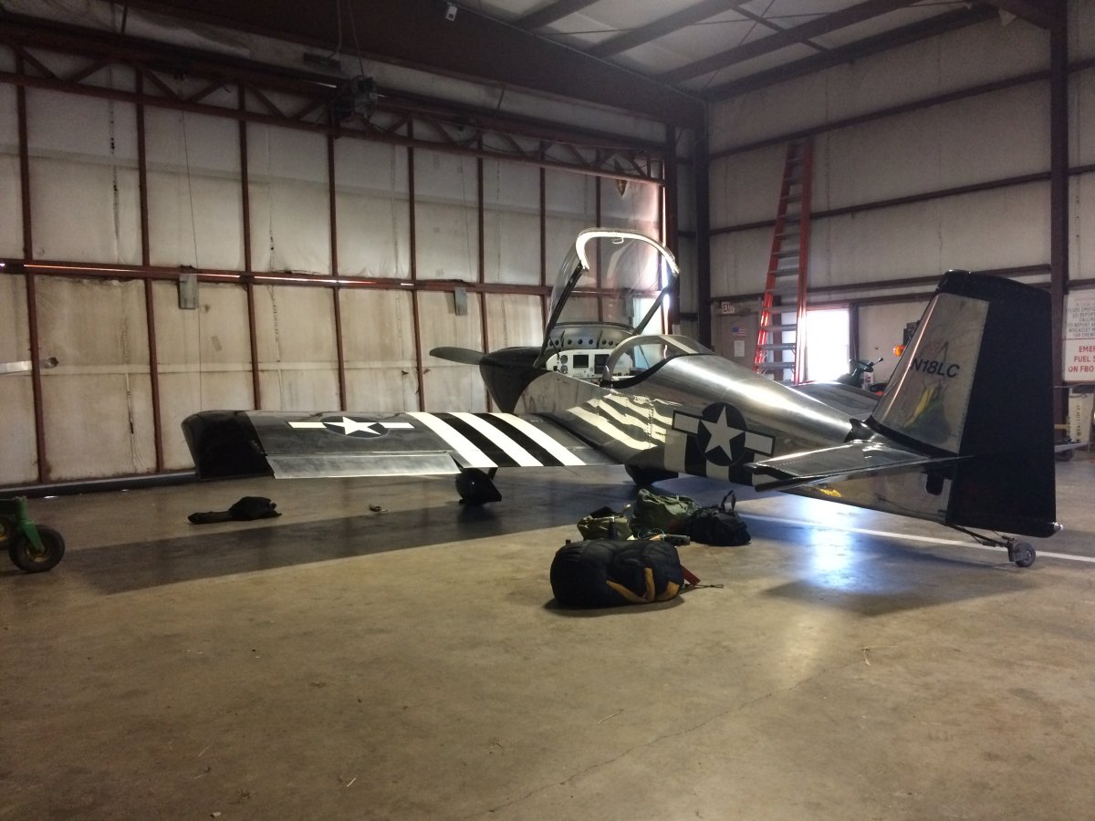
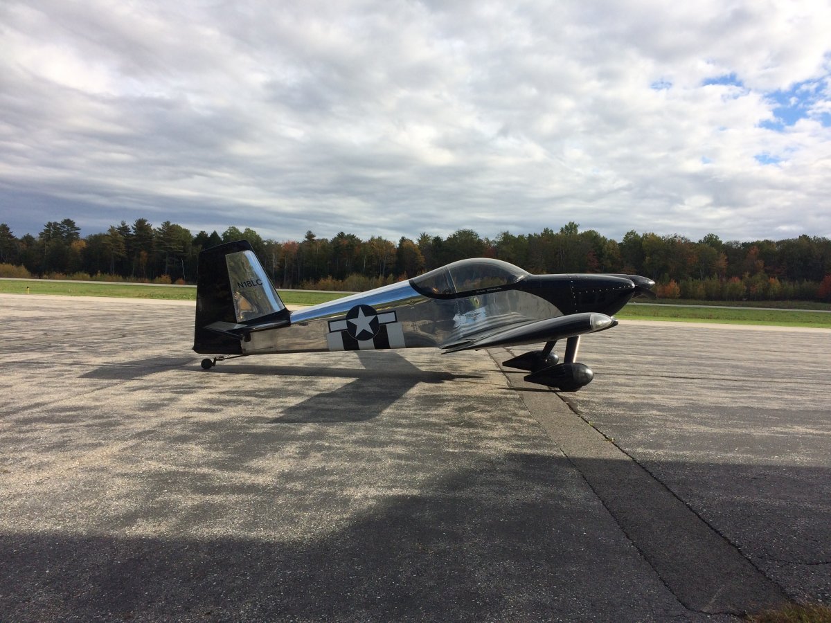
On the ramp, ready to go!
   
Looking down at Wiscasset Airport after takeoff.
   
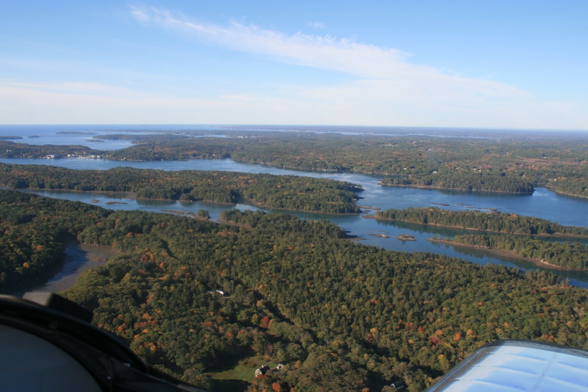
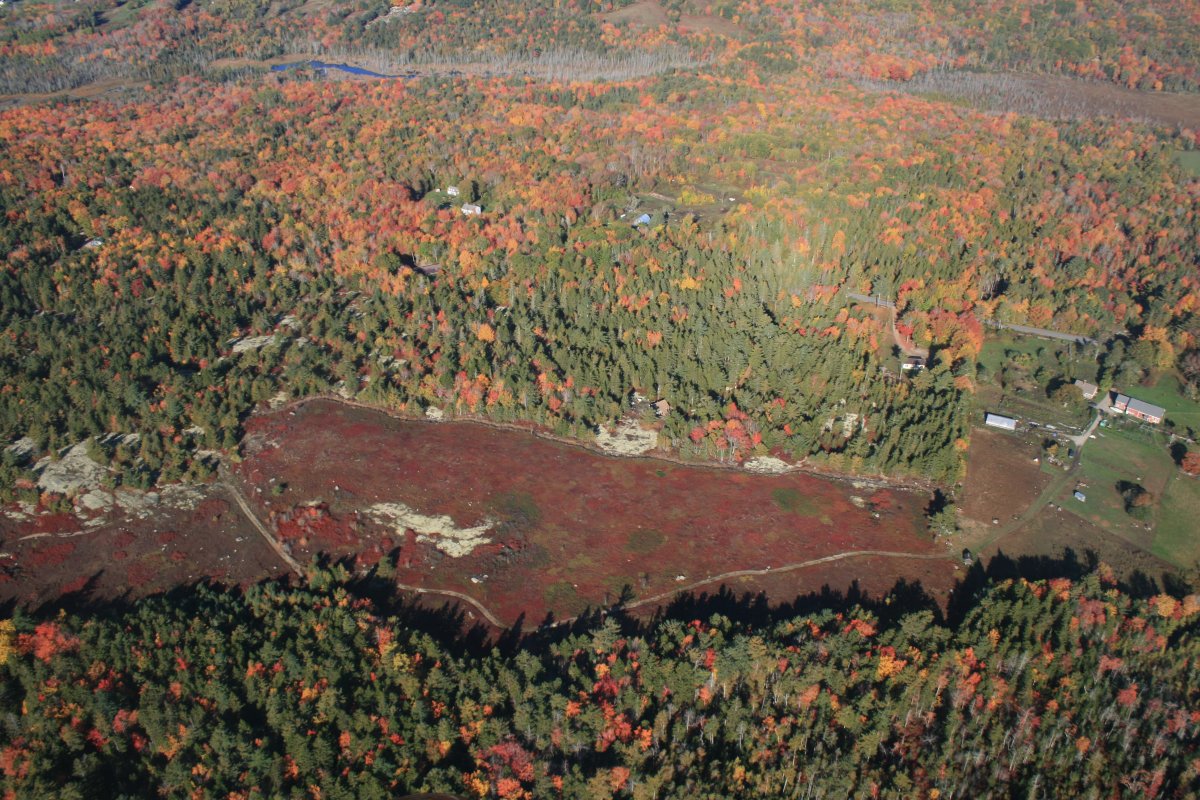
Typical coastal Maine.
   
Beautiful from the air.


Typical little fishing village.
   
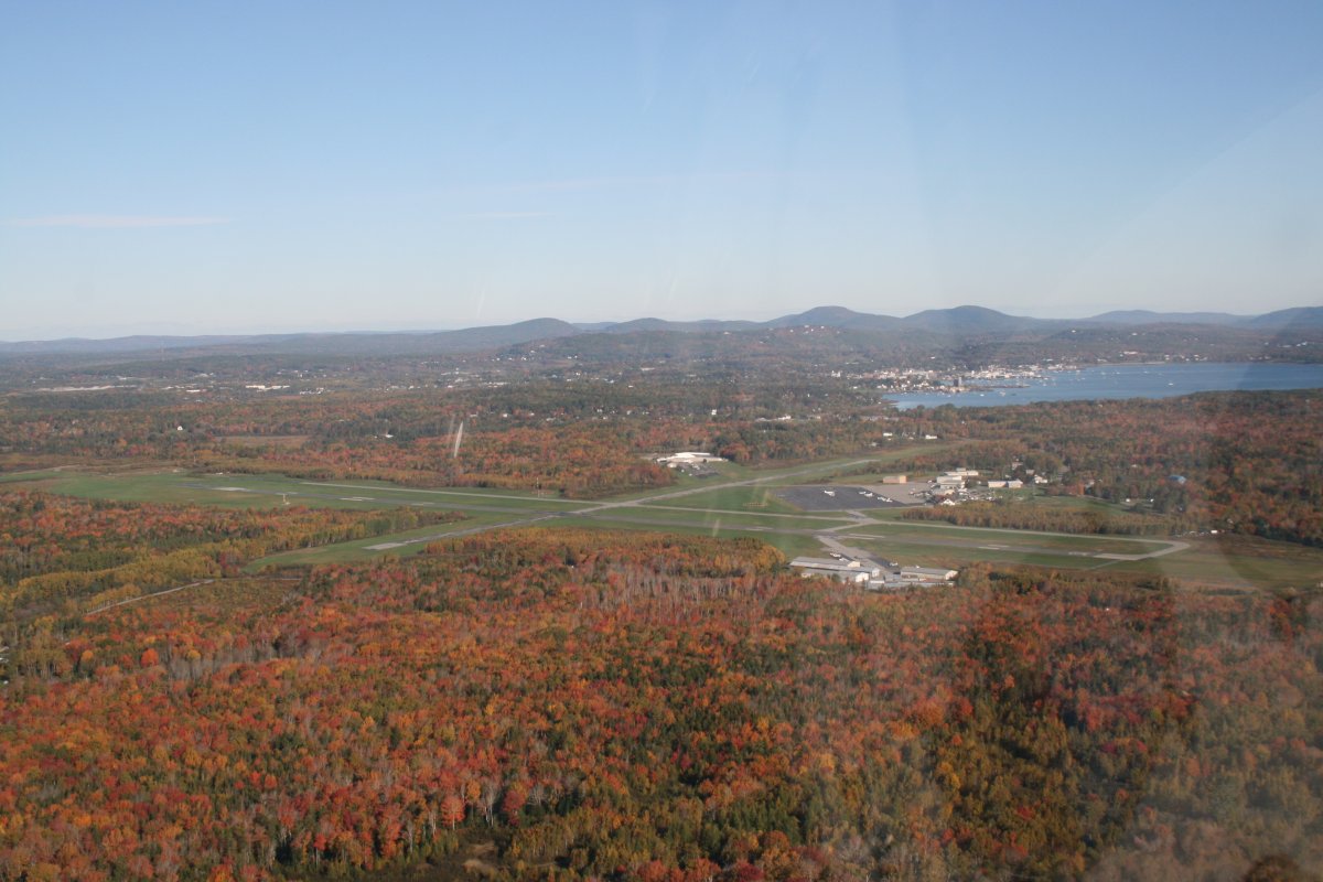
Passing by Knox County Regional Airport near Rockland and Owls Head.  I think they have an onfield restaurant and also a Transportation Museum featuring a Fokker Triplane!  I'll have to stop on my next trip.
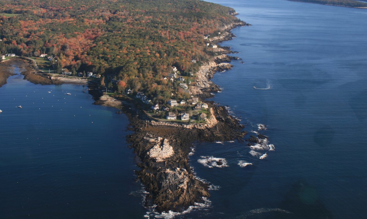
   
Crossing West Penobscot Bay which is large but filled with islands so I wasn't overwater too much.
   
Nice.
   
Still cruising across Penobscot Bay.


Nice estate.
   
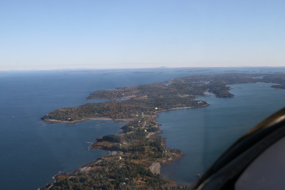
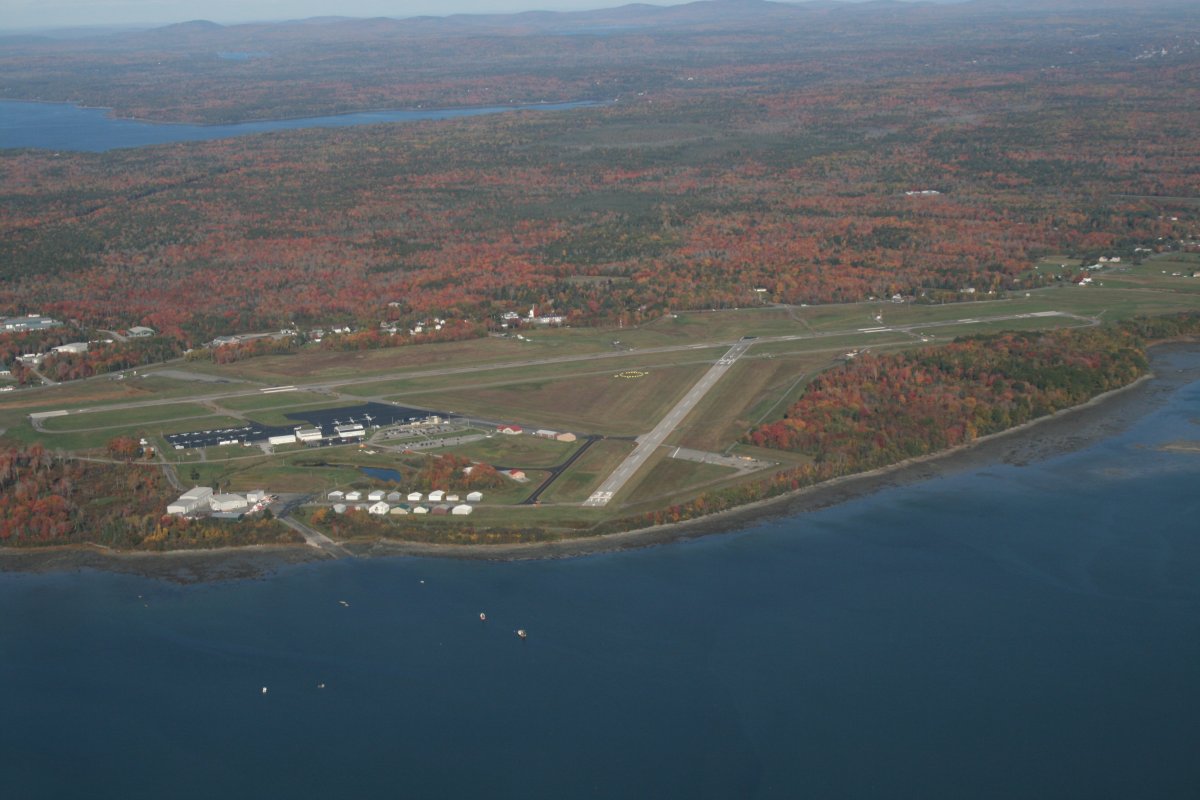
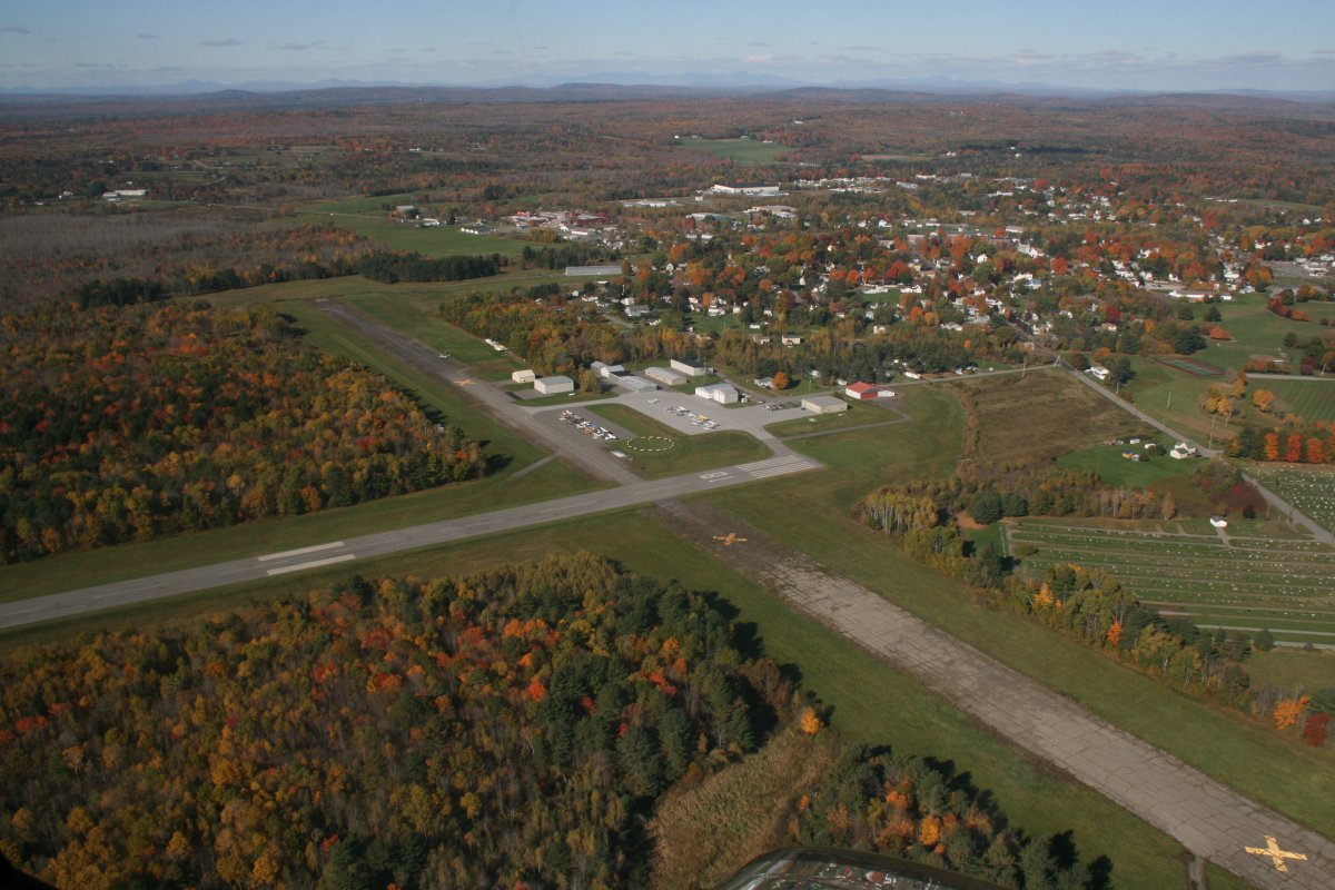
Approaching Bar Harbor Airport (KBHB).   Bar Harbor is actually on the east side of Mount Desert Island which is behind me.  The island is accessible via that bridge/road at lower left.
   
Passing by the good-sized airport.
   
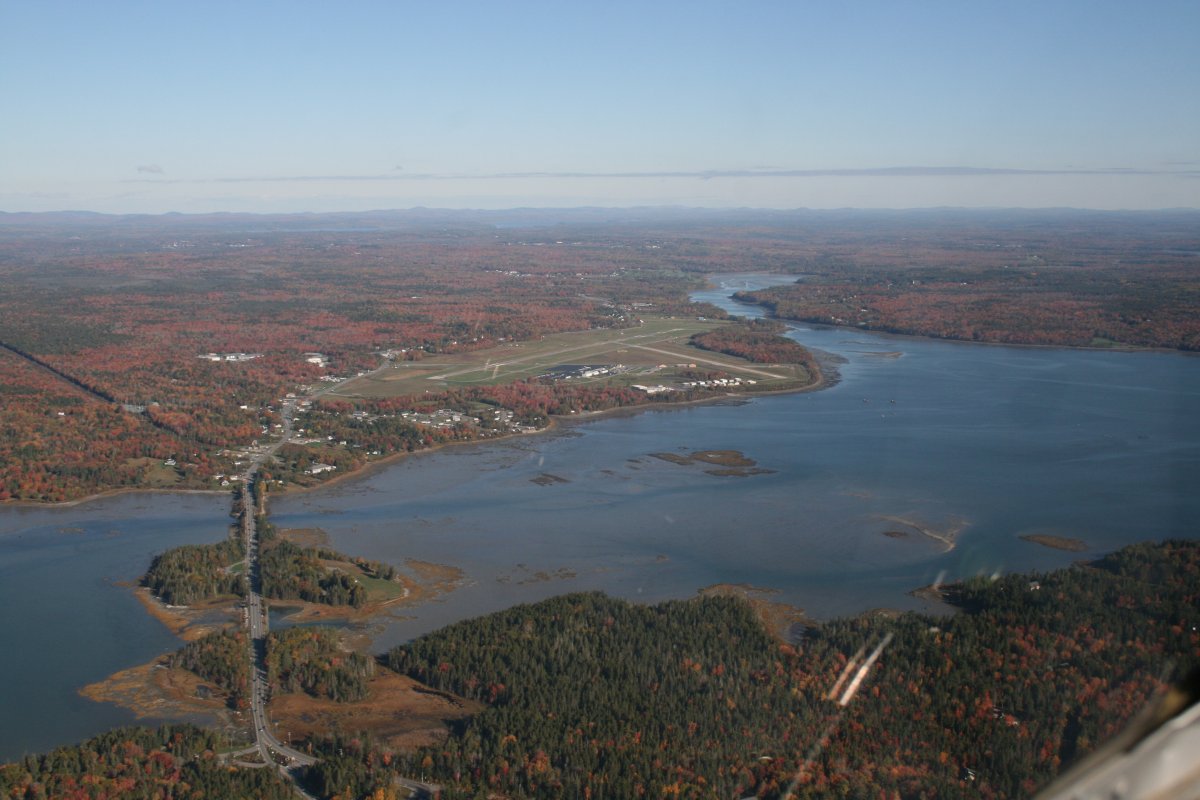
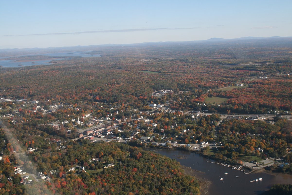
So I flew by this town, thinking it was Bar Harbor, and wondering why it was a Harbor without much water access, really.  Actually, it is the town of Ellsworth and the Union River runs through it.  Pretty sorry navigation on my part.
   

My original plan, had me doing this portion of the flight on Saturday, and flying the Maine coast all the way up to the Canadian border, then continuing northeast inland along the border to the top of the state.

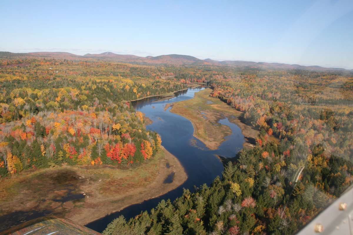
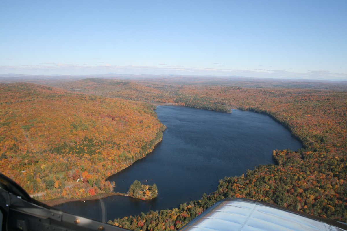
But since today was Sunday, and I had to make it back to Maryland, I didn't have time, so I turned inland here, following the Union River northeast up into a series of lakes and central Maine.
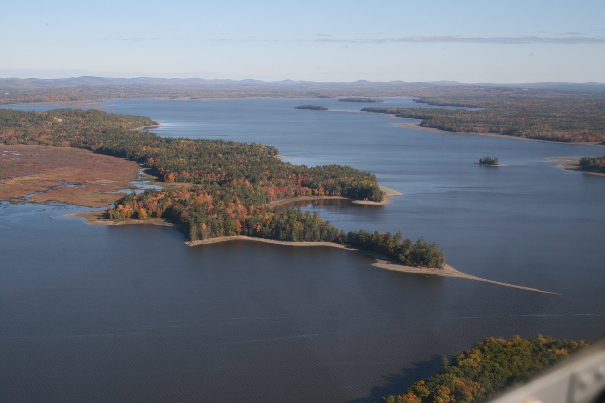
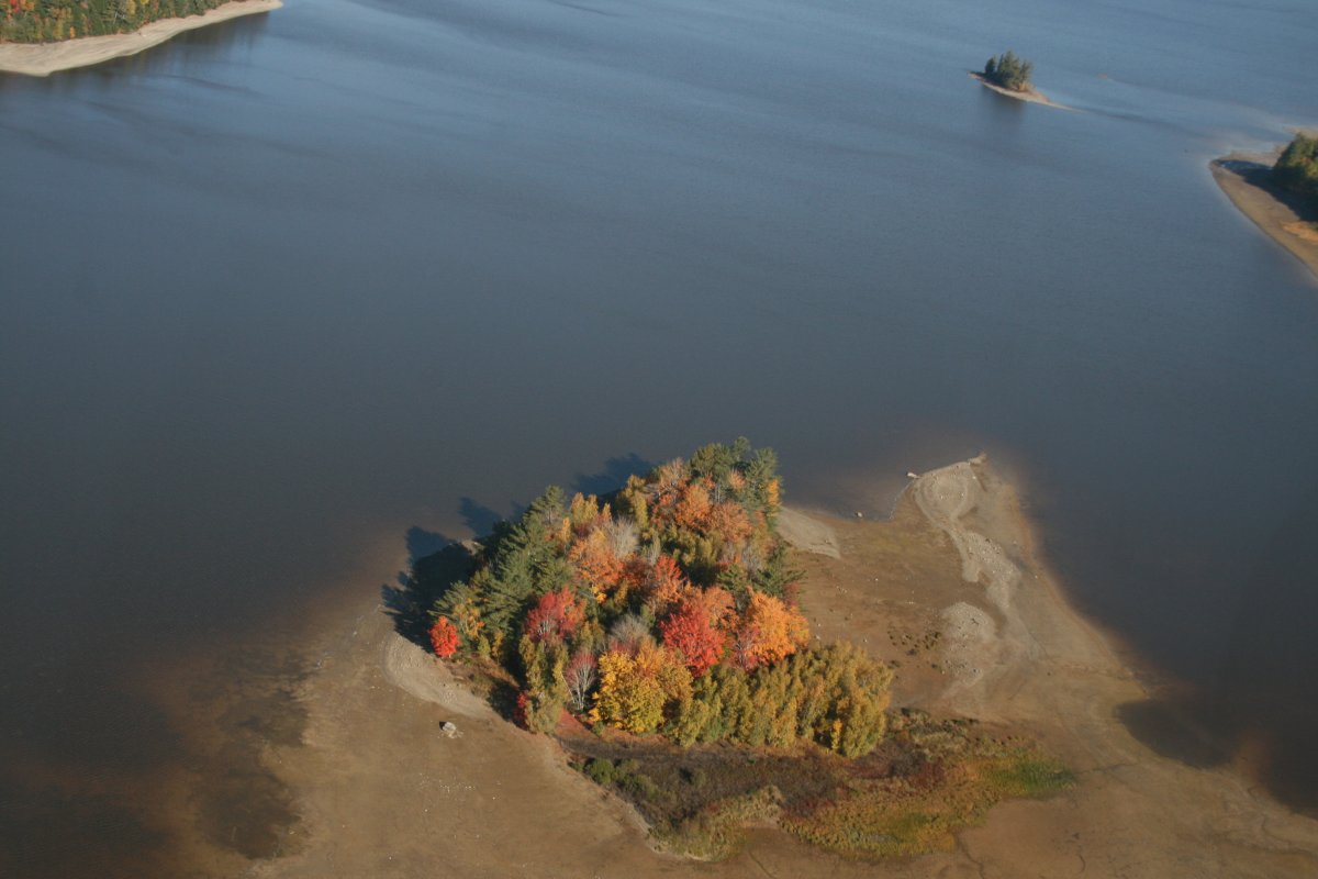
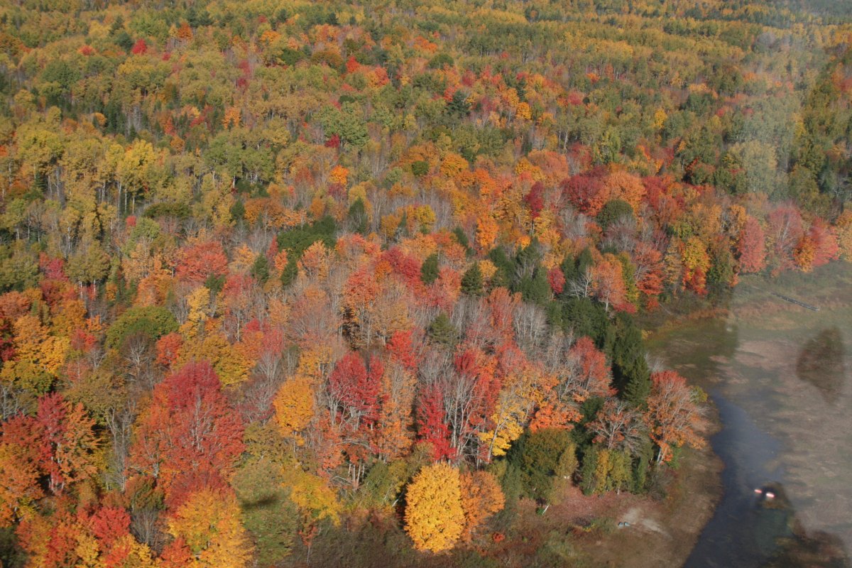
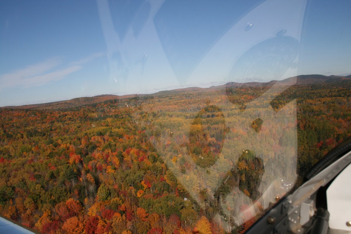
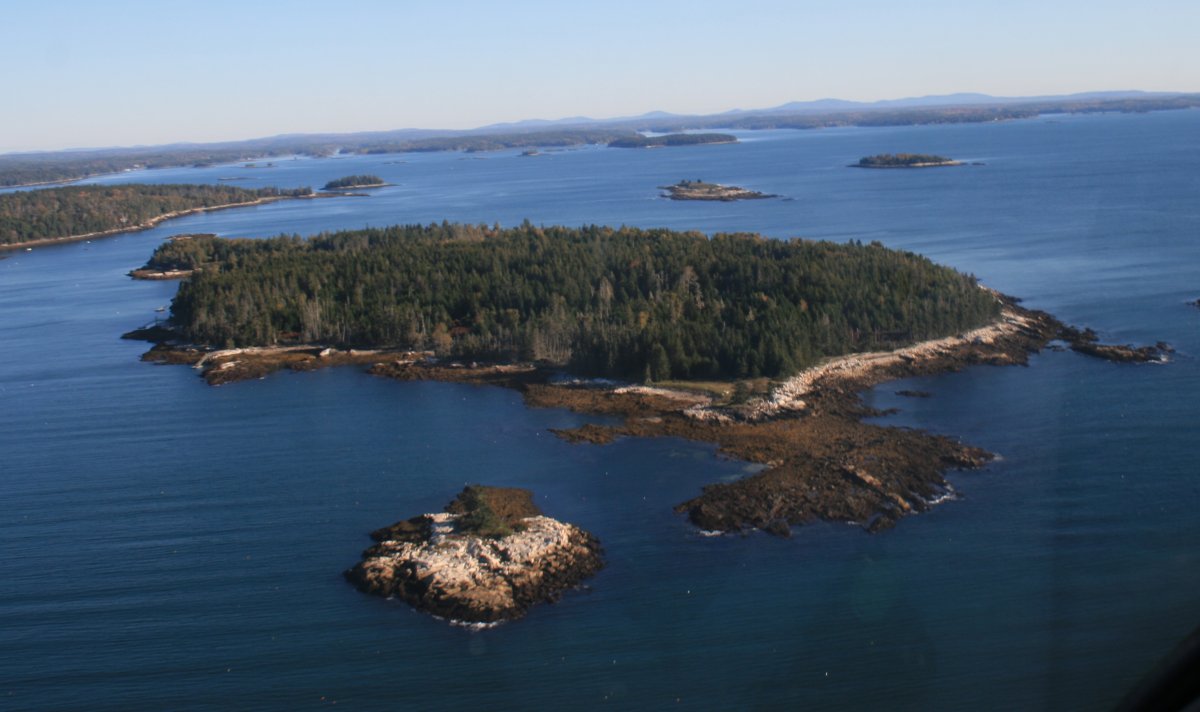
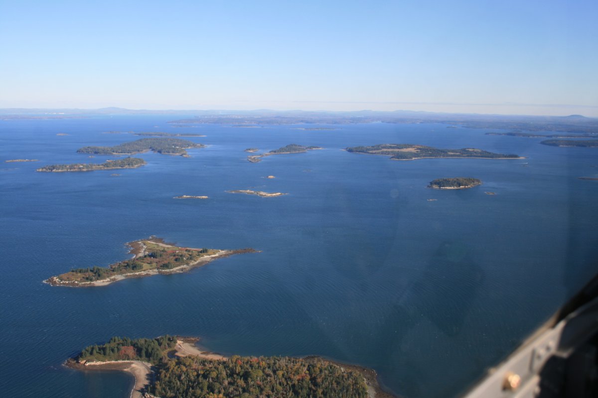
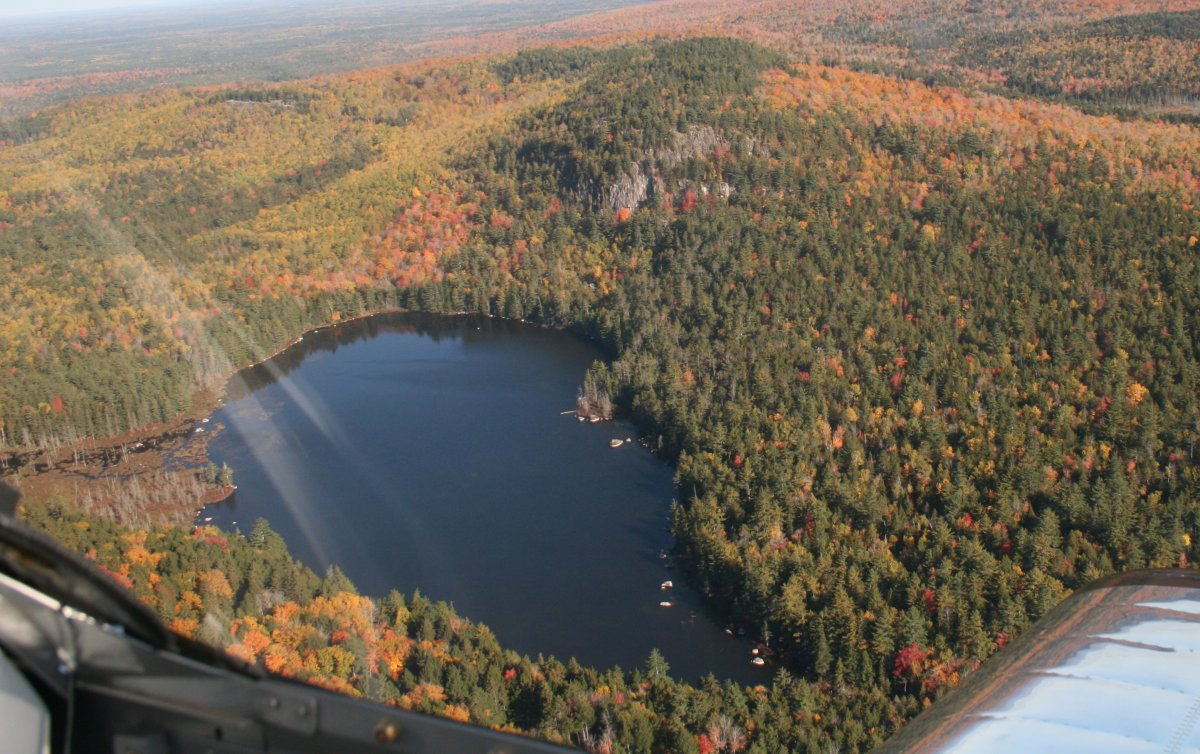
   
Finally, I started seeing some peak foliage.
   
XXX
Yeah, now this is what I came to see!


Very nice.


This is what I had pictured Maine to be:  an unbroken stretch of trees.
   
I passed over -- through -- a small mountain range.
   
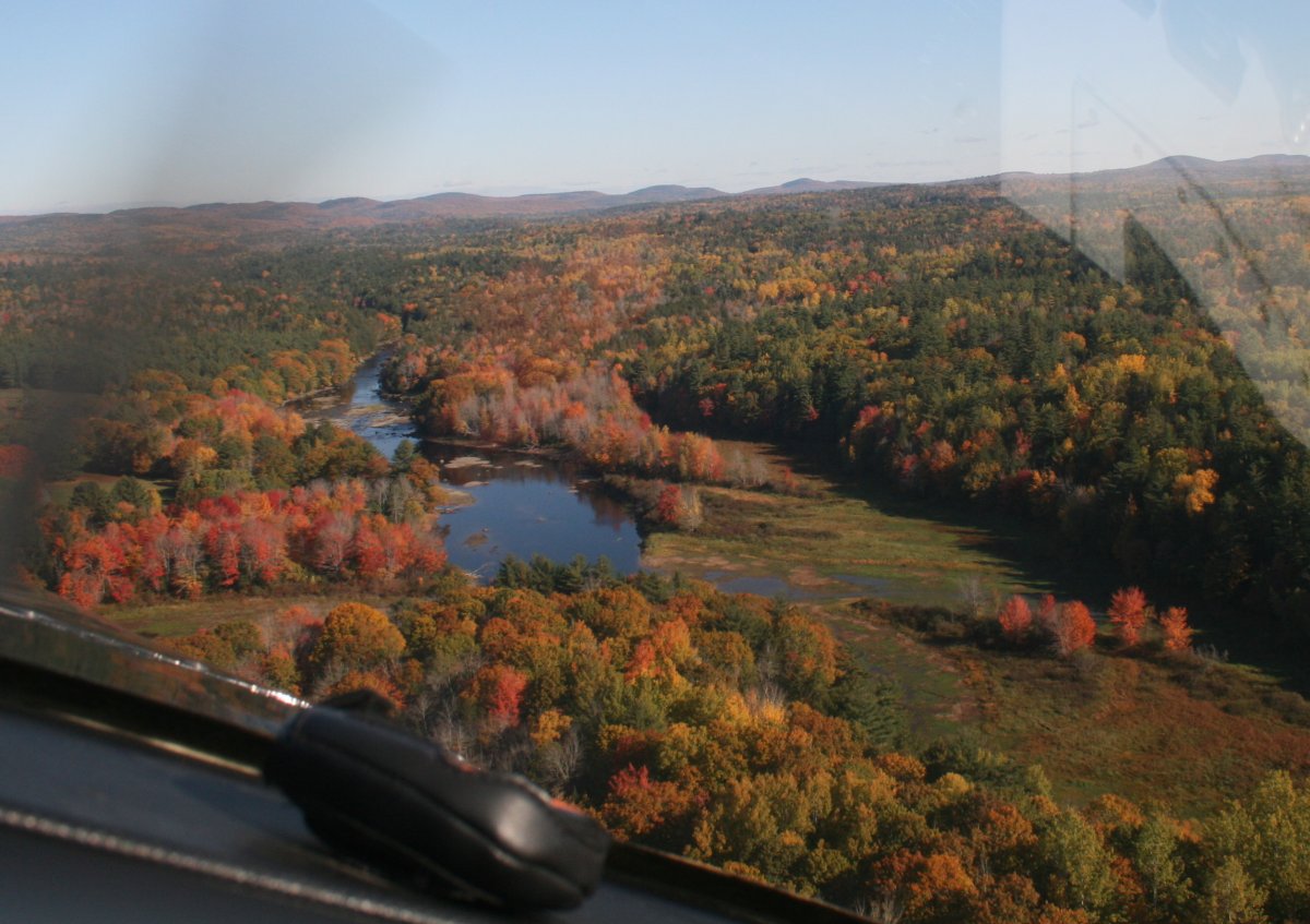
And then emerged onto the flat, broad centrai Maine plain.
   
But it was far from empty of civilization.  Here I'm passing Dewitt Field (KOLD), near Old Town, Maine.   It is about ten miles north northeast of Bangor, and a towered-airport with Class C airspace.
   
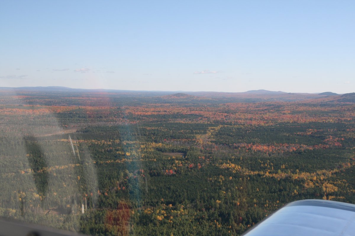
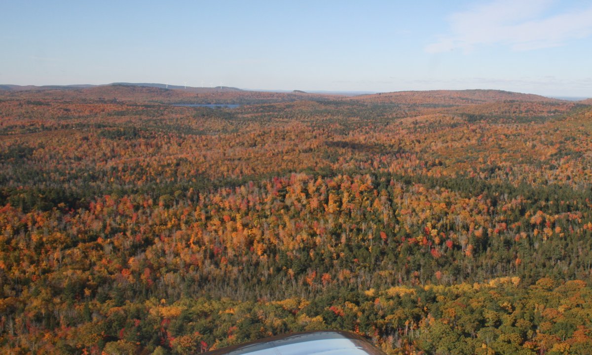
Cruising west north of Bangor.
   
Passing by Pittsfield Municipal Airport (2B7).  I-95 runs fairly close to here.
   
No shortabe of lakes up here in Maine.  I'm still heading west at this point.
   
XXX

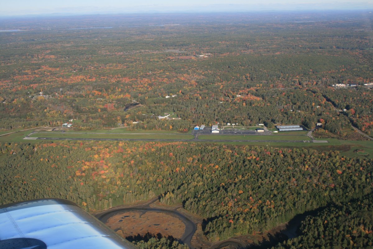
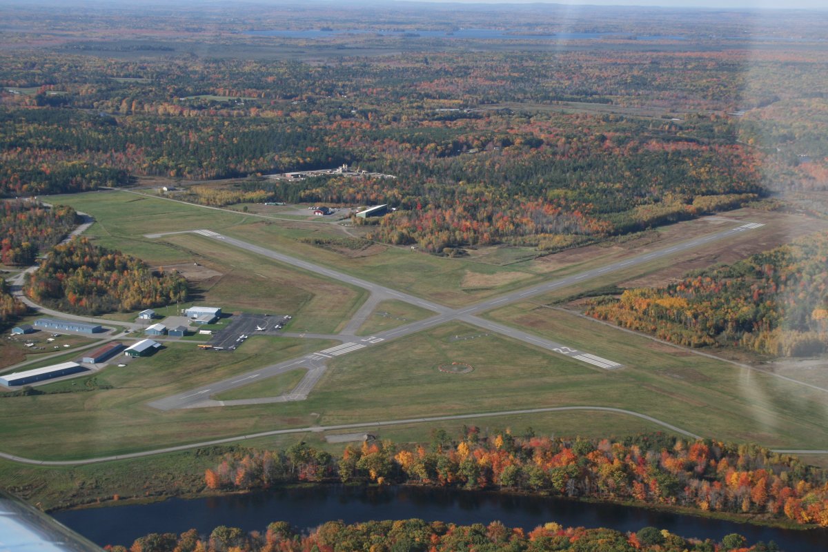
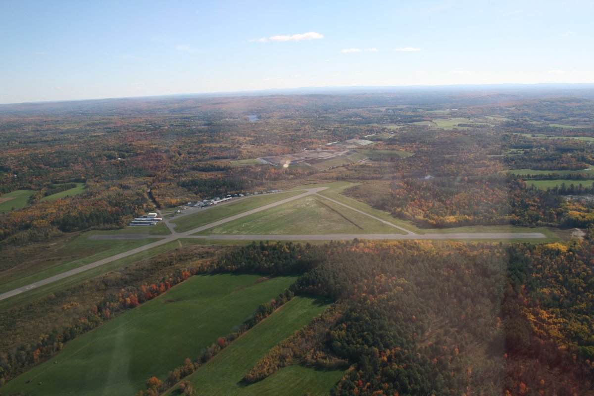
Passing by Central Maine Airport (KOWK).   Soon after this point, the color was fading, and I needed to start heading for home, so I turned south and climbed.


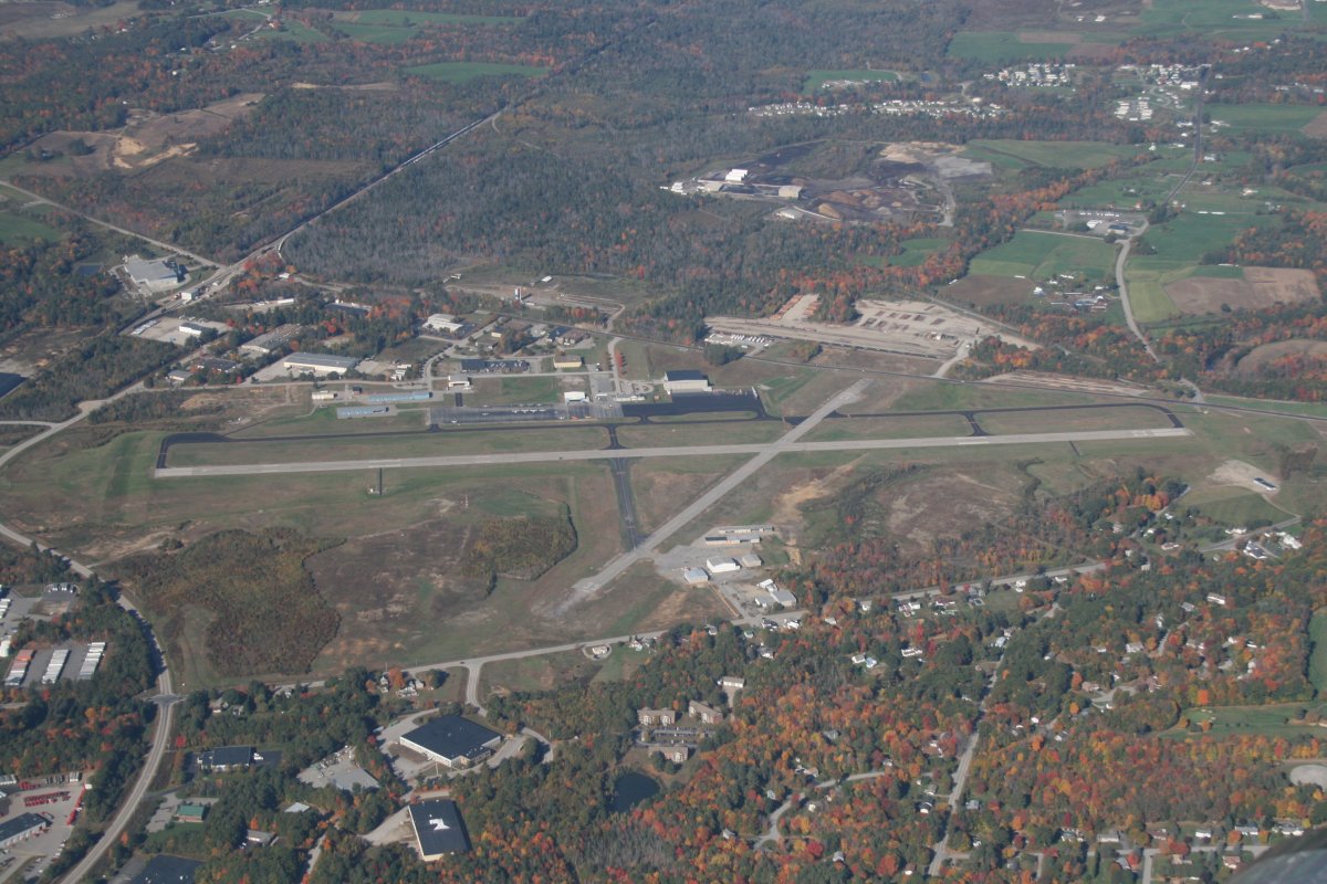
Passing by Auburn-Lewiston Municipal Airport (KLEW) which is only about 18nm northwest of Brunswick.  I had made a big circle today.  But now I'm heading for home.
   
XXX
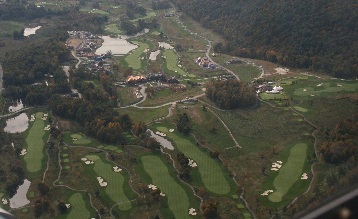
A nice-looking golf course down below.
   
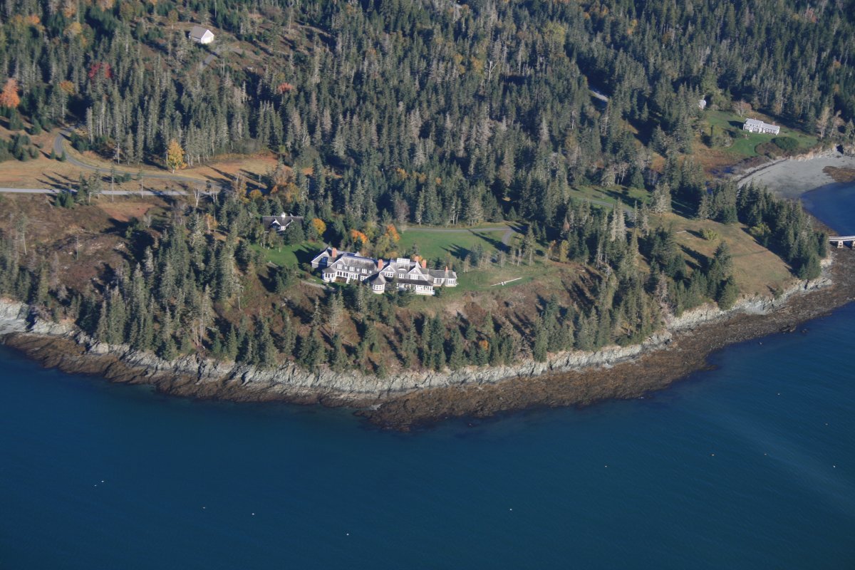
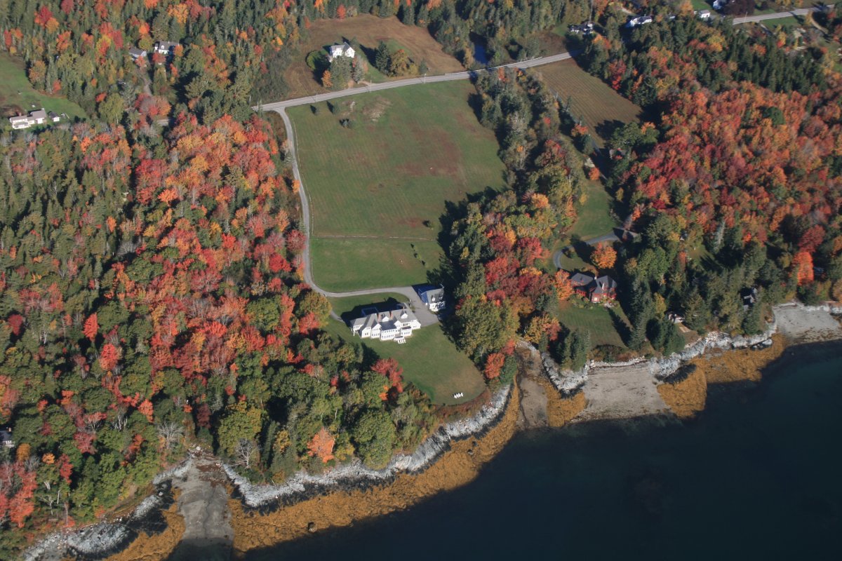
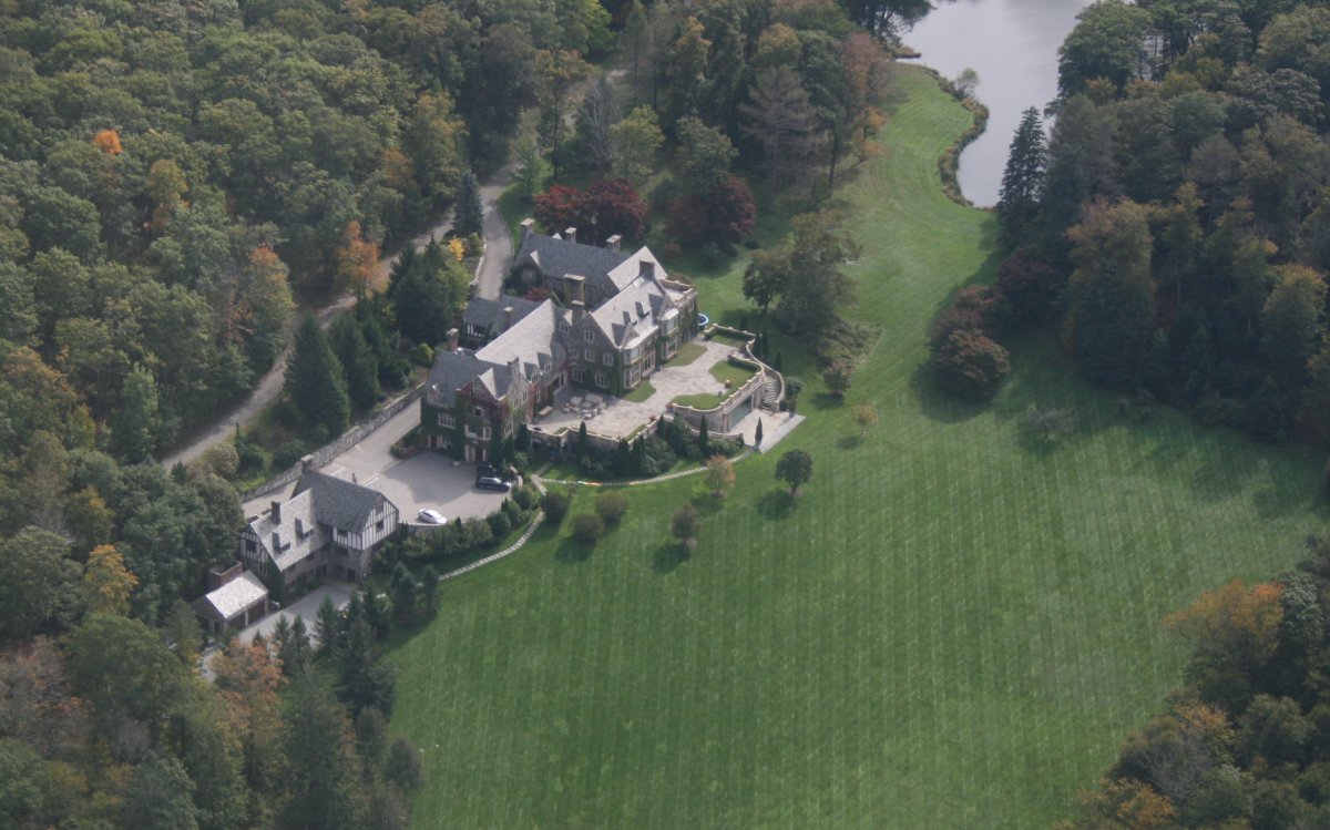
A huge masnion overlooking a gigantic lawn.  I bet the view from the mansion is awesome at peak foliage.
   
I had my Foreflight Scout going and was monitoring the ADS-B in traffic on my iPad.
   
I stopped at Sky Acres Airport (44N) for a much needed rest, some lunch, and get fuel.  This is a favorite stop of mine when flying to and from Maine.  Althought no planes are visible in this picture, the airport was quite active while I was there.  The on-field restaurant is popular.  There is also a pilot shop:  SkyGeek.com.  And the AvGas price is on the low end of the spectrum.  (I dislike saying the price is "cheap" since even low end of the spectrum can be twice the price of car gas).
   
The rest of the flight home was uneventful.  Back home, we feasted on lobster for dinner!
   
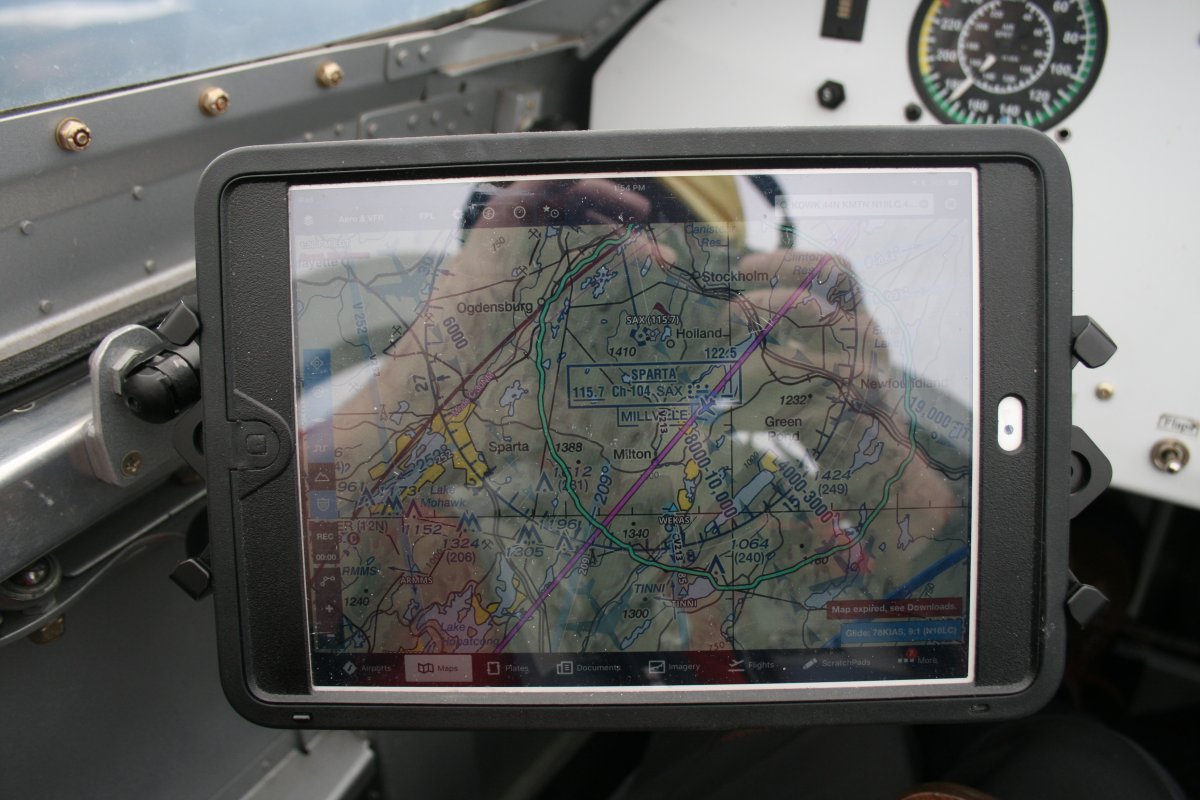
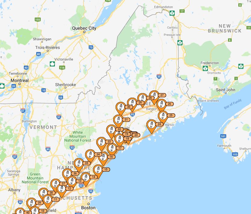
My route through central Maine.  This trip really just wetted my appetite for seeing more of Maine.   I'll be back.


Previous
Home
Next